

Due to the severity of destruction caused by tsunamis, the need for awareness and preparedness never stops. Everyone should know how to prepare for an earthquake and resulting tsunami, especially if you live, work or play on a coast. Tsunamis are a series of waves or surges that are usually caused by an earthquake beneath the sea floor.
 Here in the U.S., Crescent City, California (near the Oregon border and home to 30,000 people), is in a high-risk area for tsunamis. The topography of the ocean floor near Crescent City has the effect of channeling tsunamis to the region. The most famous event was the Great Alaskan Earthquake on March 27, 1964, which measured 9.2 on the Richter scale and set in motion a multi-state tsunami. Four waves from that tsunami struck Crescent City, which destroyed most of the downtown area and killed 12 people. The last tsunami to affect Crescent City occurred on March 11, 2011, and resulted from 9.0 scale Tohoku earthquake off the coast of Japan. In 2009, a devastating earthquake and tsunami hit American Samoa.
The disaster caused widespread damage to the island’s communities and electrical infrastructure. In the years since these incidents, the Federal Emergency Management Agency (FEMA) has allocated nearly $100 million in aid to facilitate infrastructure protection and coordinate tsunami preparedness.
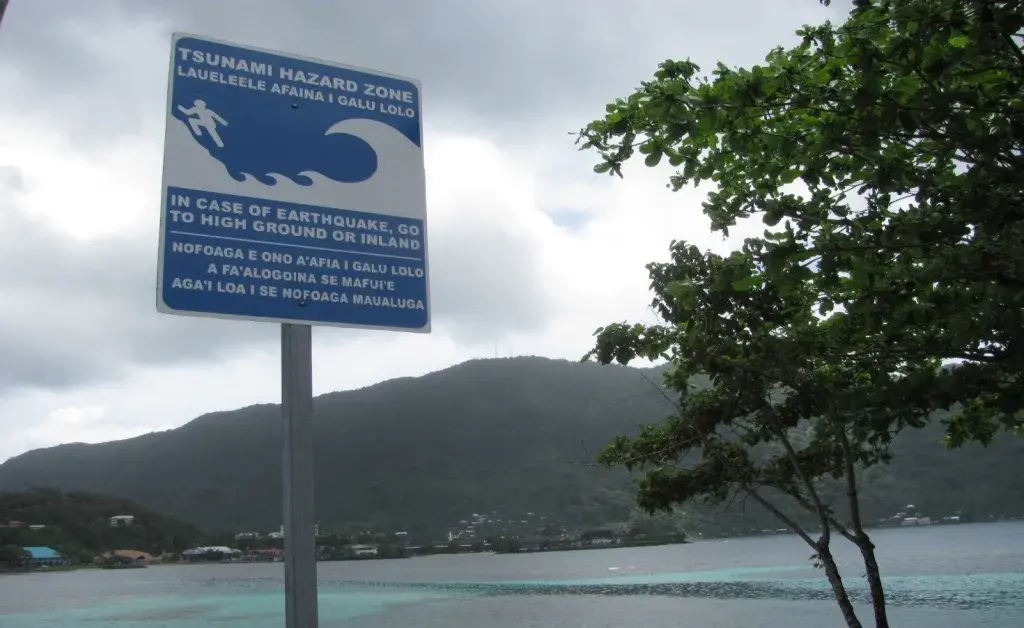
Today, Crescent City and American Samoa are both TsunamiReady® Community, part of a voluntary National Weather Service (NWS) program that promotes tsunami hazard preparedness as an active collaboration among emergency management agencies, community leaders and the public. TsunamiReady® establishes guidelines for a standard level of capability to collaboratively mitigate and respond to tsunamis. In accordance with the guidelines, Crescent City now has information and evacuation maps available for the public.
The NWS provides recommendations to help protect the public in the event a tsunami ever strikes your community:
- Check in with your local emergency management office to identify evacuation routes in your community and map out evacuation routes from your home and workplace;
- Plan to evacuate to high ground or inland, away from the coast and outside of the tsunami zone; and
- Find out about your children’s school evacuation plans and practice walking your evacuation routes, including at night and in bad weather.
Other regions outside of the continental United States are also taking steps to prepare. On March 17, Puerto Rico and the U.S. Virgin Islands took part in the Caribe Wave tsunami drill. The Caribe Wave exercise is designed to test the communication systems between tsunami alert centers and to advance emergency management agencies’ level of preparedness in the event of a true tsunami alert. Caribe Wave is the product of a continuing partnership between FEMA, the National Oceanic and Atmospheric Administration, the Puerto Rico Seismic Network (Red Sísmica de Puerto Rico) and the Puerto Rico Emergency Management Agency.
Check out the NWS Pacific Tsunami Warning Center website to learn more about tsunamis and how to be prepared.