

Airports are flooded with people and cargo around the clock. For security practitioners, it could seem impossible to catch everything that happens in such a wide open, but extremely crowded space. Stadiums and other large, public venues require near-perfect surveillance systems to do so. For most locations today, immersive surveillance is not a reality. This could change, however, with new technology developed by the Department of Homeland Security (DHS) Science and Technology Directorate (S&T).
S&T’s Immersive Imaging System (IIS) was recognized at the recent annual R&D 100 Conference among the 100 most exceptional innovations in science and technology from 2018. The prestigious R&D 100 Award was presented to the S&T Apex Screening at Speed program for its novel 360-degree, single-vantage-point surveillance capability. Funded by S&T and developed at the Massachusetts Institute of Technology Lincoln Laboratory (MIT/LL), IIS could provide security practitioners with vastly greater imagery than any prior camera system, collecting visual data that is both clear and comprehensive. Offering high-resolution images and 360-degree coverage, the system provides full scene situational awareness of areas of interest with rapid forensic capabilities and real-time actionable data analytics.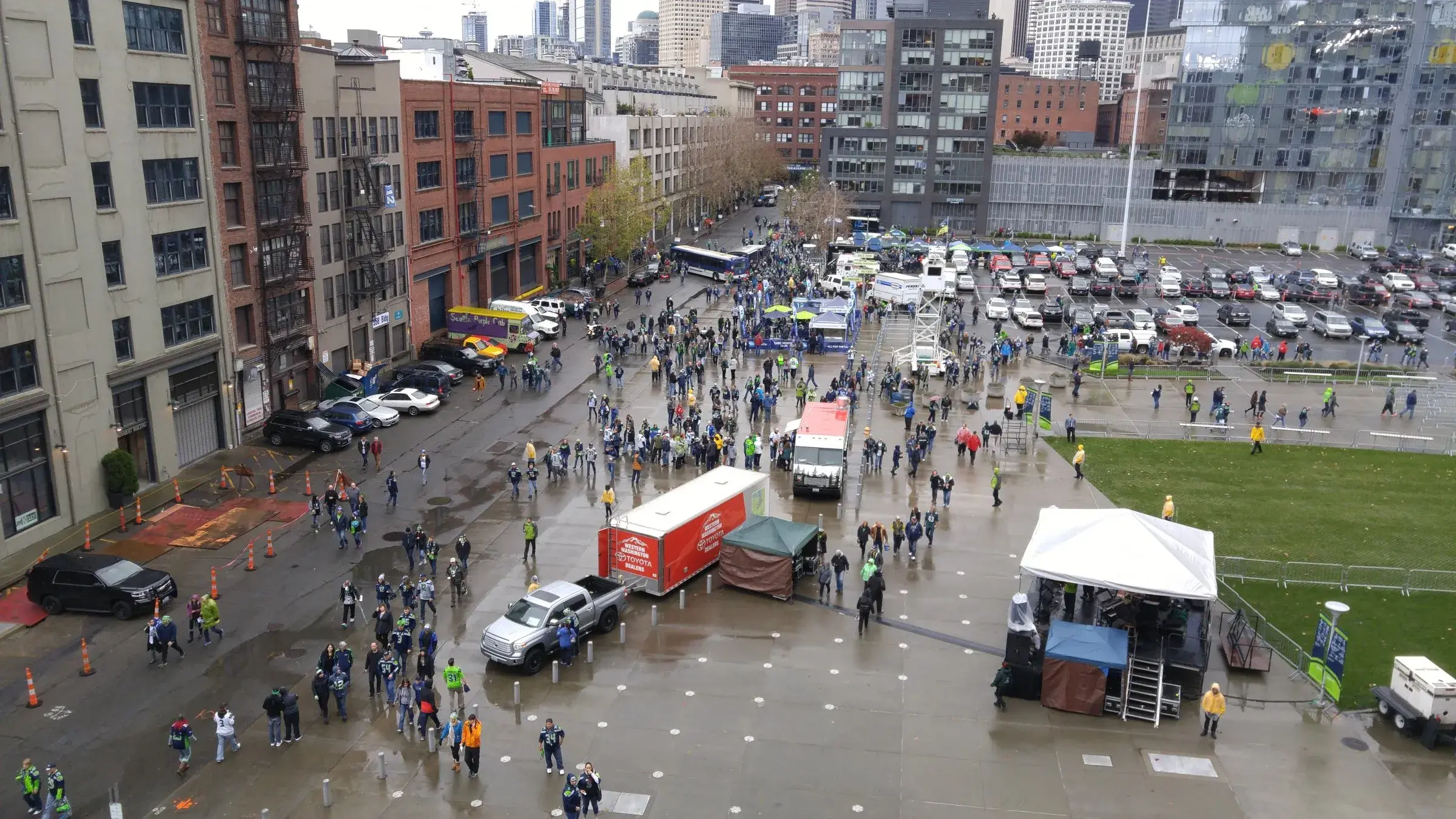
IIS provides a continuous means of surveillance, especially in congested locations such as airport terminals, transportation hubs, and sports and entertainment venues with thousands of people filtering through daily.
“Currently, there is a clear divide between monitoring pre-checkpoint, the checkpoint, and the secure area once passengers are cleared. In the future, we want to be able look at the whole process, from the curb to the checkpoint,” said John Fortune, S&T Program Manager. “The Immersive Imaging System will enable situational awareness across an entire airport terminal.”
A 360-degree view will help maximize visibility for a curb-to-gate solution in airports. A 180 degree version of IIS is currently being demonstrated at Seattle’s CenturyLink Field under a project with Pacific Northwest National Laboratory (PNNL).
The award winning IIS technology has been licensed to Consolidated Resource Imaging, LLC (CRI). The IIS systems can be custom configured to provide a 90 to 360 degree area of coverage, depending on the installation location.
Many cameras today are pan-tilt-zoom and must be pointed directly at areas of interest, forcing operators to choose either a high-resolution view of a small area or a low-resolution, larger area view. The 360-degree cameras currently available are mostly low-resolution and only inform other pan-tilt cameras where to look.
IIS transforms typical 360-degree situational awareness by delivering a resolution sufficient to identify even the smallest details at distances up to 100 meters in all directions simultaneously, adding a new layer of safety to high-impact locations. Using up to 50 individual, high-resolution cameras and lenses, the system stitches the many perspectives into a single, continuous image. The system’s graphical user interface incorporates viewer software with detection and video processing algorithms, delivering a constant, all-encompassing feed, Fortune explained.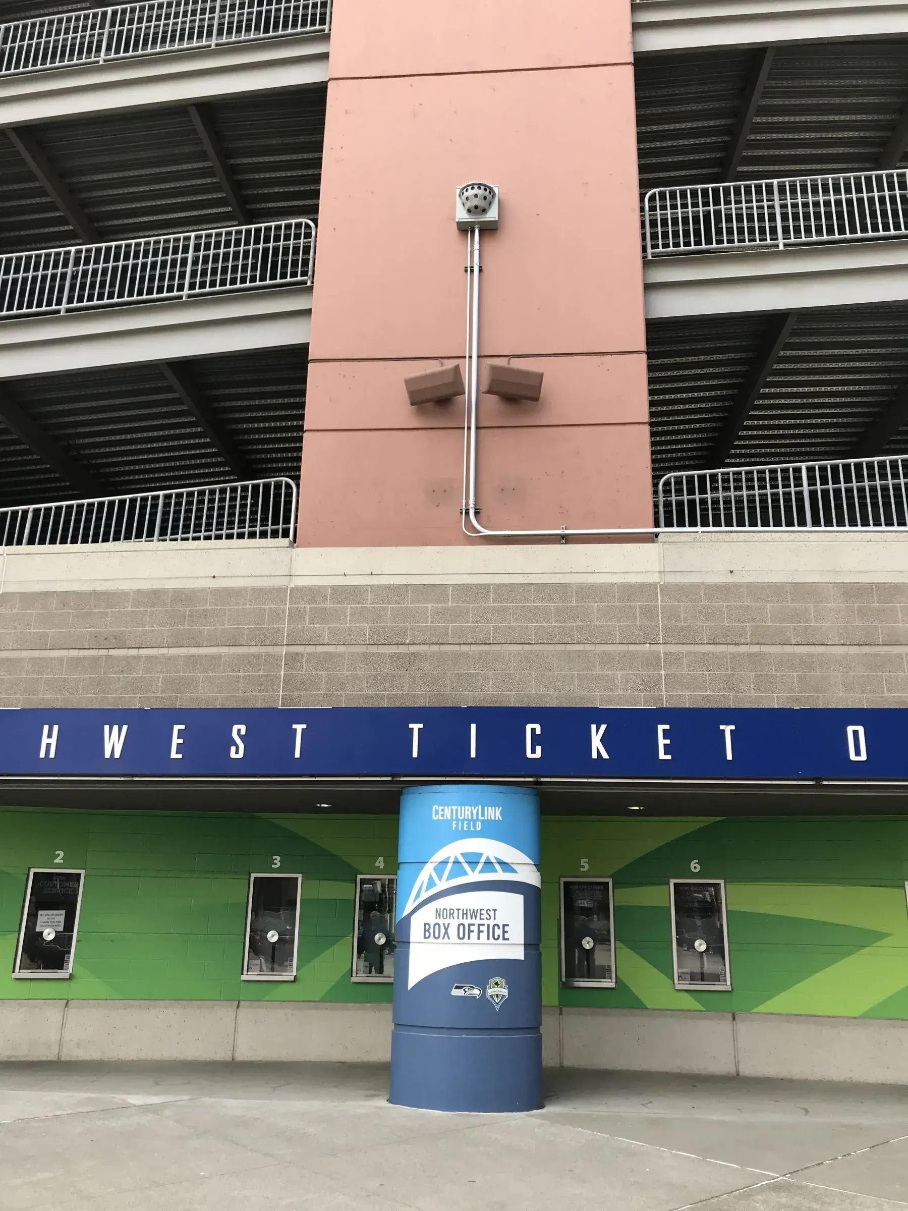
It also allows multiple operators at once to scan and zoom across the whole 360-degree span digitally, selecting areas to designate for automated alerts as well as play back archived footage to review critical events. Full-resolution footage can be stored and retrieved from the camera for up to 30 days, and image compression allows for efficient capture of data. One challenge, of course, is managing the volume of data collected from such a powerful system over long time periods. However, the Immersive Imaging System’s storage solution enables extremely high data rates, which further supports real-time surveillance.
Along with CenturyLink Field, PNNL is also helping DHS S&T pilot IIS at the Federal Law Enforcement Training Centers (FLETC) in Glynco, Georgia.
This high resolution camera array provides first responders and critical infrastructure owners with increased capability to identify threats and analyze incidents with better quality analytics as compared to today’s standard CCTV systems, explained Jim Grove, S&T Portfolio Manager to FLETC. The goal of the pilot is to provide requirements for analytical software and development of a mobile version of the system, which could be used at crowded areas and high-risk events.
Note: This article has been edited.
Captions
Photo A - A 180-degree view maximizes visibility and can be applied in busy locations, like CenturyLink Field, where the Immersive Imaging System is currently being demonstrated.
Photo B - S&T's Immersive Imaging System provides a small presence but big impact with its expansive 180-degree field of view.